Virginia Tech’s Blacksburg campus has a new interactive campus map with a cleaner layout, real-time update capabilities, and a navigation tool that helps users find accessible pathways.
The new map was developed through a collaborative effort by the Division of Information Technology’s Enterprise GIS group; Division of Campus Planning, Infrastructure, and Facilities GIS; the Office for Equity and Accessibility; University Relations; and the Disability Alliance and Caucus. These groups partnered for over two years to make the first significant improvements to the map’s user interface and technical configuration in nearly a decade.
“A well-designed interactive web map is an essential service to enable the Virginia Tech community to navigate our large, dynamic, and growing campus,” said Seth Peery, senior GIS architect for Enterprise GIS. “As the official campus map, it is also our digital ‘front door.’ This map provides a sense of place and visual welcome for everyone that uses it. Our previous map had a good run, but advances in technology afforded us the opportunity to design a new map that is more modern, easier to navigate, and easier to maintain.”
At the heart of the project was improving the usability and user experience for the campus community — particularly responding to the needs of individuals who rely on the interactive campus map to identify accessible pathways, entryways, and elevators.
Joe Cooley, ADA campus accessibility architect for Virginia Tech, was heavily involved in the project. He said, “Key to the new map’s improved functionality was having accurate information about the existing campus topography and the accessible features of the campus buildings. Our office was glad to have been able to collaborate with the GIS team on this. The new map features will help users to easily plan a safe, accurate, and comfortable accessible route to their campus destination, especially if the route requires someone to briefly enter a campus building to utilize an elevator.”
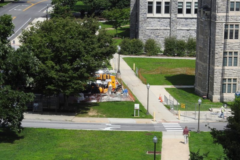
One of the map’s most notable features is a navigation tool designed to identify routes that exclusively utilize accessible pathways. The tool automatically checks for any pathway closures, construction sites, or other potential obstacles and can route the user around those sites. This is especially helpful given the active state of construction on campus.
Mike Justice, senior geospatial technician for engineering services in the Division of Campus Planning, Infrastructure, and Facilities, said, “The tool has the ability to recognize a variety of closures and say, ‘That’s a barrier, we can’t go through there,’ and searches for the next-best alternative using only the accessible paths layer of the map.”
Justice said, “The Enterprise GIS folks worked hard to customize an out-of-the-box navigation tool to recognize the sidewalks, buildings, and other features unique to Virginia Tech’s campus.”
While the previous map displayed accessible pathways, entries, parking spaces, and curb cuts, it was up to the user to determine a suitable route. Moreover, users had to consult a separate map to view current construction closures.
Justice said the new tool could be especially helpful for all Hokies returning to campus this fall, particularly for those with mobility challenges who will need accurate information about any changes to campus pathways that occurred over the summer.
“We carried forward the design philosophy from our previous map, which was that layers pertaining to accessibility should appear right alongside those describing other features of our built environment,” Peery said.
In addition to improving the user interface, the map team changed how the map works on the back end, making it much easier for the Division of Campus Planning, Infrastructure, and Facilities GIS team — who are among the first to become aware of closures, reported barriers, and other circumstances that affect travel and accessibility across campus — to keep the map accurate and up to date.
The previous version of the map required a programmer to make even minor updates. The new map is template-based, which “eliminates the need to get a programmer involved for most updates and enables the GIS team to make needed updates directly,” said Peery.
Mike Ryba, geospatial technician for Engineering Services in the Division of Campus Planning, Infrastructure, and Facilities GIS said “Since we are the ones managing the data that feeds the map, it makes sense that we will be the ones making updates to the map. Now when we receive a report of a barrier or new closure, we can go into the mapping software and make changes in a matter of minutes.”